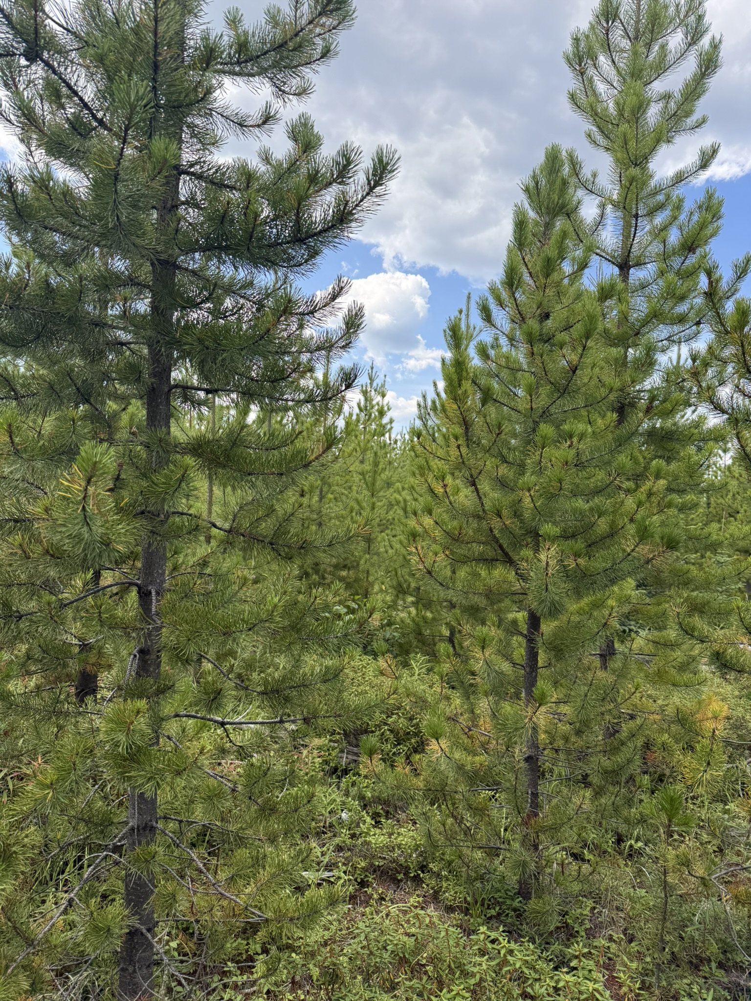
Woodland Description
Title, Ownership, and Legal Documents
Before making management decisions, confirm the legal status of your woodlot and understand the rights, restrictions, and obligations attached to the property. Obtain a current Alberta land title using the property’s legal description, LINC number, or title number. The title identifies the registered owner and may show mortgages, caveats, easements, builders’ liens, restrictive covenants, surface or mineral rights, and other registered interests. A title preview may not contain complete information, so obtain the full title and relevant registered documents when necessary (alberta.ca).
Review the registered plan and any documents relating to access, rights-of-way, utility corridors, leases, restrictive covenants, conservation interests, or other limitations on how the land may be used. If access crosses another property, confirm that a legally documented right-of-way exists and understand its location, permitted uses, maintenance responsibilities, and any restrictions. Do not rely solely on a road or trail that has been used historically if the legal access has not been confirmed.
Also check whether the property is subject to municipal land-use rules, development restrictions, environmental requirements, or agreements that could affect activities such as road construction, harvesting, drainage work, recreation, or building. Alberta notes that registered titles and plans are available through its land-title systems or registry agents, and legal help is strongly recommended when dealing with title ownership or legal documents. (alberta.ca)
For complicated ownership, boundary, access, estate, or mineral-rights questions, consult a real-estate lawyer, land surveyor, or other qualified professional before purchasing land or beginning major work.
Practical Checklist
Current land title and registered documents
Legal land description and LINC number
Registered plan or survey
Mortgages, caveats, liens, and restrictive covenants
Easements and rights-of-way for access and utilities
Surface and mineral ownership
Leases, agreements, and conservation interests
Municipal zoning and land-use requirements
Boundary confirmation where uncertainty exists
Professional legal or surveying advice where needed
Surveys and Boundary Lines
Knowing the location of your property boundaries is essential for responsible woodlot management. Clearly identified boundaries can help prevent accidental encroachment, protect relationships with neighbours, support planning and harvesting activities, and reduce uncertainty when constructing roads, trails, fences, or other improvements.
Where boundaries are unclear, disputed, or no longer supported by reliable evidence, hire a licensed Alberta land surveyor to locate or retrace the legal boundary. Do not assume that an existing fence, road, trail, or historic line represents the legal property boundary.
If the boundary location is known and undisputed, routine maintenance may include carefully brushing out vegetation, repainting existing blazes, replacing fence posts, or repairing other established markers. Avoid removing, moving, or damaging old survey evidence. Any work that establishes a new boundary or attempts to relocate a boundary should be completed by a qualified land surveyor.
Maintained boundary lines may also provide practical access routes and create habitat edges, but these benefits should be balanced with the potential for erosion, weed spread, wildlife disturbance, and unnecessary vegetation clearing.
Important: Boundary maintenance is not the same as legally establishing a boundary. When in doubt, stop work and obtain professional surveying advice. Landowners can also obtain Alberta land-title documents and registered plans through Alberta’s land-title system or a registry agent.
History and Implications
The current condition of a woodlot reflects the combined influence of natural processes and past human activities. Wind, wildfire, insects, disease, drought, flooding, and changing climate conditions may have shaped the forest, while clearing, harvesting, grazing, road construction, firewood collection, and previous management decisions may have influenced its structure and composition.
Understanding this history can help explain why different areas of the woodlot look and function differently today. Historical information may also reveal past disturbances, old access routes, former fields, regenerating stands, wetlands, boundary changes, or recurring forest-health concerns. Sources may include previous owners, neighbours, family records, aerial imagery, forestry reports, maps, photographs, harvest records, and field observations.
A clear understanding of the woodlot’s history provides valuable context for setting realistic goals, identifying risks, and choosing management actions that support healthy forests and long-term resilience. Historical evidence should be treated as one source of information and combined with current field assessments before making significant decisions.
Aerial Photos, Maps, LiDAR, and Drone Imagery
Aerial imagery and maps provide an important overview of your woodlot and help you understand how the property fits together. They can be used to identify property boundaries, roads, trails, fields, streams, wetlands, drainage patterns, forest stands, clearings, and areas of disturbance. Comparing imagery from different dates or seasons can also reveal changes in forest cover, water movement, access routes, and land use over time.
Newer technologies can provide additional detail. LiDAR data uses laser measurements to create highly detailed models of ground elevation, vegetation structure, drainage patterns, slopes, and terrain—often even beneath partial forest canopy. It can be useful for identifying low-lying areas, potential wetlands, erosion concerns, access routes, and changes in forest structure.
Drone imagery can provide current, high-resolution photographs or video of specific areas of a woodlot. It may be useful for inspecting roads, trails, riparian areas, harvested areas, storm damage, wildfire impacts, invasive species, and other features that are difficult or time-consuming to assess from the ground. Repeated drone surveys can also help document changes over time.
These tools should complement—not replace—field observations, official land records, and professional advice. Imagery dates, resolution, canopy cover, equipment accuracy, weather conditions, and processing methods can affect what is visible and how accurately it can be mapped. Aerial imagery should not be treated as a legal survey, and property boundaries should be confirmed using official records and on-site verification. Drone operators should also follow applicable aviation, privacy, and land-access requirements. A well-prepared map can become a practical working tool for documenting resources, planning activities, and monitoring the woodlot over time.
Inventory
A woodlot inventory is a practical record of the natural resources, features, opportunities, and potential limitations on your property. It does not need to be a complex professional forest inventory. For many private woodlots, a well-organized combination of maps, field observations, photographs, notes, and basic measurements can provide enough information to support realistic goals and management decisions.
Begin by mapping the property and dividing it into areas that are relatively similar in forest type, age, density, condition, terrain, or management history. Walk through each area and record the features that may influence how it can be managed.
What to Consider
Forest and Vegetation
Main tree species and approximate age or size
Stand density and structure
Tree health, damage, disease, insects, and invasive species
Natural regeneration and areas requiring planting
Understory plants, shrubs, wildflowers, and non-timber forest products
Presence of mature trees, snags, cavity trees, and downed wood
Wildlife and Habitat
Wildlife sightings, tracks, nests, dens, and feeding areas
Wetlands, riparian areas, ponds, streams, and seasonal water
Habitat connections and movement corridors
Sensitive or uncommon habitats
Species at risk or features that may require special protection
Land, Water, and Site Conditions
Riparian areas help protect water quality, reduce erosion, provide wildlife habitat, and support healthy aquatic ecosystems. Where livestock are present, consider managing access to streams and wetlands through fencing, designated watering areas, off-site watering systems, or controlled crossings. These measures can protect sensitive vegetation and streambanks while supporting livestock health and property management. Any work near watercourses or wetlands should be planned carefully and checked against applicable Alberta requirements.
Soil type, drainage, moisture, and productivity
Slopes, erosion concerns, exposed bedrock, and unstable ground
Watercourses, wetlands, springs, and drainage patterns
Mineral or aggregate resources, where relevant
Areas affected by flooding, drought, wildfire, windthrow, or past disturbance
Access and Human Features
Roads, trails, gates, fences, crossings, and landings
Utility corridors, buildings, old structures, and recreational features
Potential safety hazards
Areas suitable for future access or improvements
Evidence of previous harvesting, farming, grazing, dumping, or other land use
Historical, and Personal Values
Family history and previous uses of the property
Scenic viewpoints, quiet areas, gathering places, and recreational features
Places that the owner wishes to protect or leave undisturbed
How Detailed Should the Inventory Be?
The level of detail should match your goals. A basic inventory may be sufficient for general stewardship, recreation, access planning, and small-scale thinning. More detailed measurements may be needed if you are considering commercial harvesting, forest valuation, tax planning, wildfire-risk reduction, habitat restoration, or a major management project.
A private woodlot inventory should help you answer:
What resources and features are present?
What condition are they in?
What areas are sensitive or require protection?
What opportunities exist?
What risks or limitations should be considered?
What information is still missing before making a decision?
The inventory is not a one-time exercise. Update it after major storms, wildfire, harvesting, new construction, forest-health events, or changes in ownership goals. A current inventory provides the foundation for setting priorities and developing a practical, sustainable woodlot management plan.